

Topographical surveying of the Freeport of Riga territory
Topographical surveying of the Freeport of Riga territory

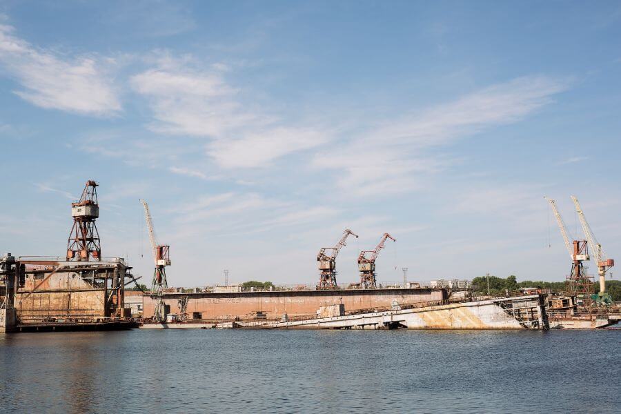
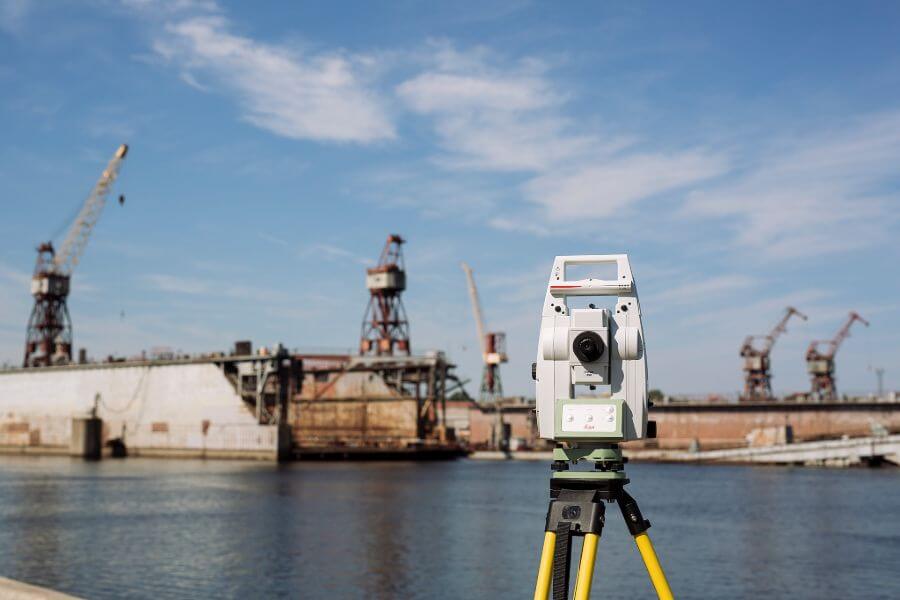
For 3 years in a row – in 2019, 2020 and 2021 – we have been carrying out extensive topographical surveying at the order of the Freeport of Riga Authority and drawing up highly detailed topographical plans in the territory of the Freeport of Riga:
- in Vecmīlgrāvis in the area of Birztalu and Laivinieku Streets approximately (in 2019 – 92 ha);
- in the Northern region and in Sarkandaugava in the region of Meldru, Gāles, Ezera, Tvaiku Streets (in 2020 – 184 ha);
- in the territory of Kundziņsala (in 2021 – 380 ha).
The project provides for surveying of all engineering networks and elements of engineering structures erected by lessees of the Freeport of Riga and coordination with all the lessees. The area being measured and the complexity are growing year on year similarly to the quality of surveyor’s work.