

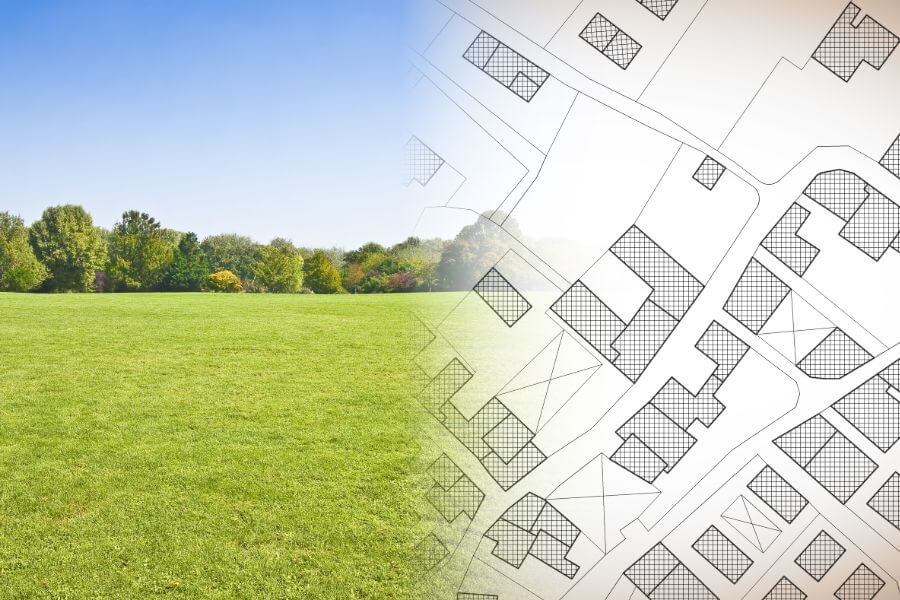
Cadastral surveying of land
What is it?
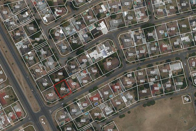
Cadastral surveying of land is carried out to determine legal boundaries of a property, and it includes:
- invitation of initiators and owners of adjoining properties,
- surveying and determination of a land unit,
- pegging using boundary marks – landmarks or sight lines (provided by the customer or surveyors upon agreement)
- survey of the boundaries and situation of the land unit
- preparation (plan) and submission of cadastral survey documents to the State Land Service.

What is necessary to prepare an offer?
- Address or cadastre number of the object
- Sketch of the territory to be surveyed (if they do not match)
When is it necessary?
- First-time corroboration of property rights to real estate (land);
- Renewal and clarification of the disappeared boundaries, including settlement of boundary disputes;
- Uniting, division or rearrangement of land units;
- Determination of the boundaries of a land unit (for rental purposes);
- Isolation of land units each on its own plan;
- Deforestation of forest lands or arrangement of agricultural land;
- Updating of Situational or Encumbrance plans.
Are you interested in our services? We are here to help!
The full package of land surveying services from the commencement of construction to commissioning