

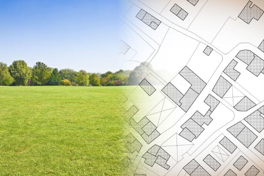
Engineering geodetic works
What is it?
Geodetic work is widely used depending on the purpose and task, but these mainly are individual construction activities. They include:
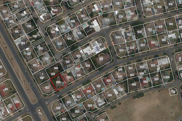
- geodetic survey for construction needs;
- pegging of structures and engineering networks and geodetic control of constructed underground and surface engineering networks,
- supervision of structures.
Geodetic work includes also works for pegging a mineral deposit licence field and calculation of the extraction volume.
From the beginning of construction to commissioning of a structure – plans of executive measurements for the commissioning of a building (including vertical surveying) or for the commissioning of newly constructed engineering communication.

What is needed to prepare an offer?
- Address or cadastre number of the object
- Sketch of the territory to be surveyed
When is it necessary?
Executive measurements for the commissioning of a building.
- Executive measurements for the commissioning of a constructed engineering communication
- Setting of construction lines
- Inspection for deformations
- Control measurements
- Installation and surveying of geodetic support networks
- Pegging of the licence field
Are you interested in our services? We are here to help!
The full package of land surveying services from the commencement of construction to commissioning