

Aerial photogrammetry
What is it?
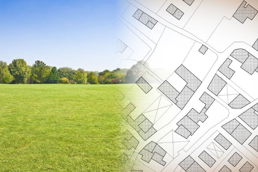
Aerial photogrammetry deals with capturing of aerial photos or aerial photography – capturing of images of ground surface by taking photographs from an aircraft with a special aerial photo camera and their photogrammetric processing (e.g. creation of area plans and maps).
Aerial photography uses unmanned aircraft technologies.
What is needed to prepare an offer?
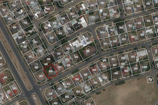
- Address or cadastre number of the object
- Sketch of the territory to be surveyed
When is it necessary?
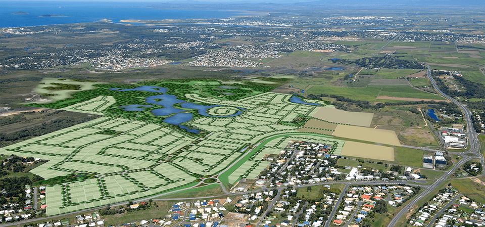
Aerial photography data is widely used. It may be used in:
- preparation of orthophoto maps,
- creation of topographical plans,
- calculation of volumes in quarries,
- creation of digital surface models and 3D models,
- spatial planning,
- forestry,
- precision agriculture, etc.etc.
Are you interested in our services? We are here to help!
The full package of land surveying services from the commencement of construction to commissioning