

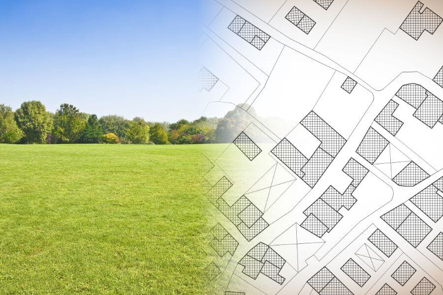
Land use planning
What is it?
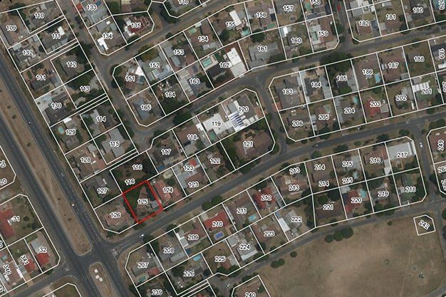
Land use planning works shall be performed for the purpose of rearrangement or arrangement of boundaries of land units, resulting in the development of a land use planning project with the desired location of boundaries, and after the development of a land use planning project, the situation is measured physically and land border, situational and encumbrance plans are drawn up. Land use planning works also include the preparation of internal distribution schemes or graphical annexes to a local government decision (work task).
What is needed to prepare an offer?
- Address or cadastre number of the object
- Local government decision on the need to develop a project (work task with a graphical annex)
When is it necessary?
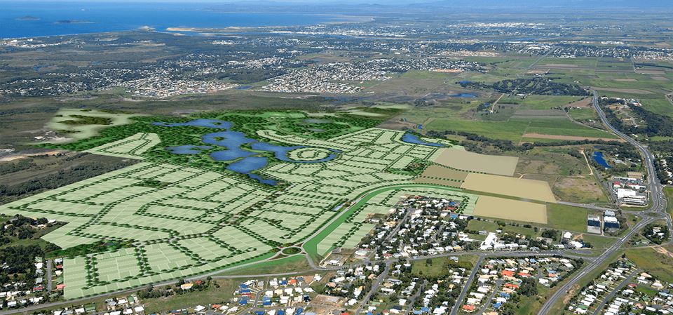
- For the first-time corroboration of property rights, a land use planning project is drawn up for properties entered in the Land Register for the division of the boundaries of land units or for the rearrangement of boundaries.
- The land use planning project is also drawn up within the scope of detailed planning.
- The need to divide a land unit may particularly occur when separating forest land from agricultural land.
Are you interested in our services? We are here to help!
The full package of land surveying services from the commencement of construction to commissioning